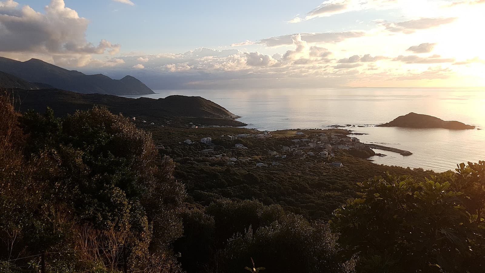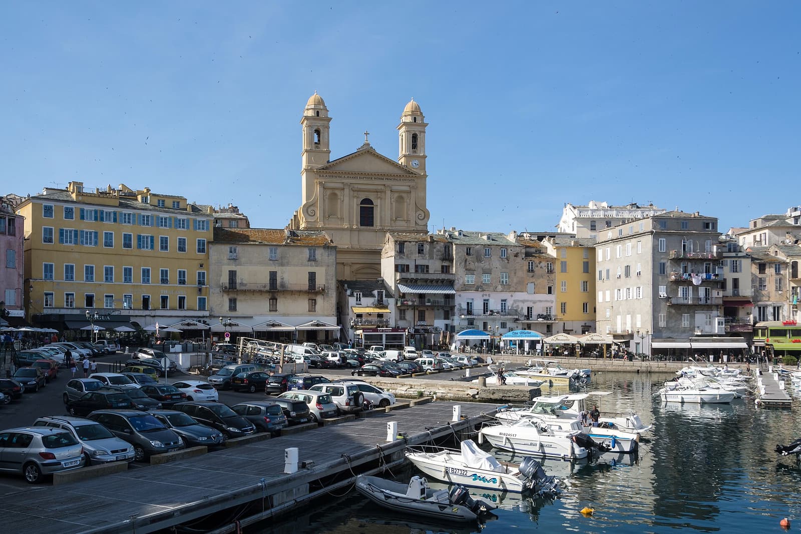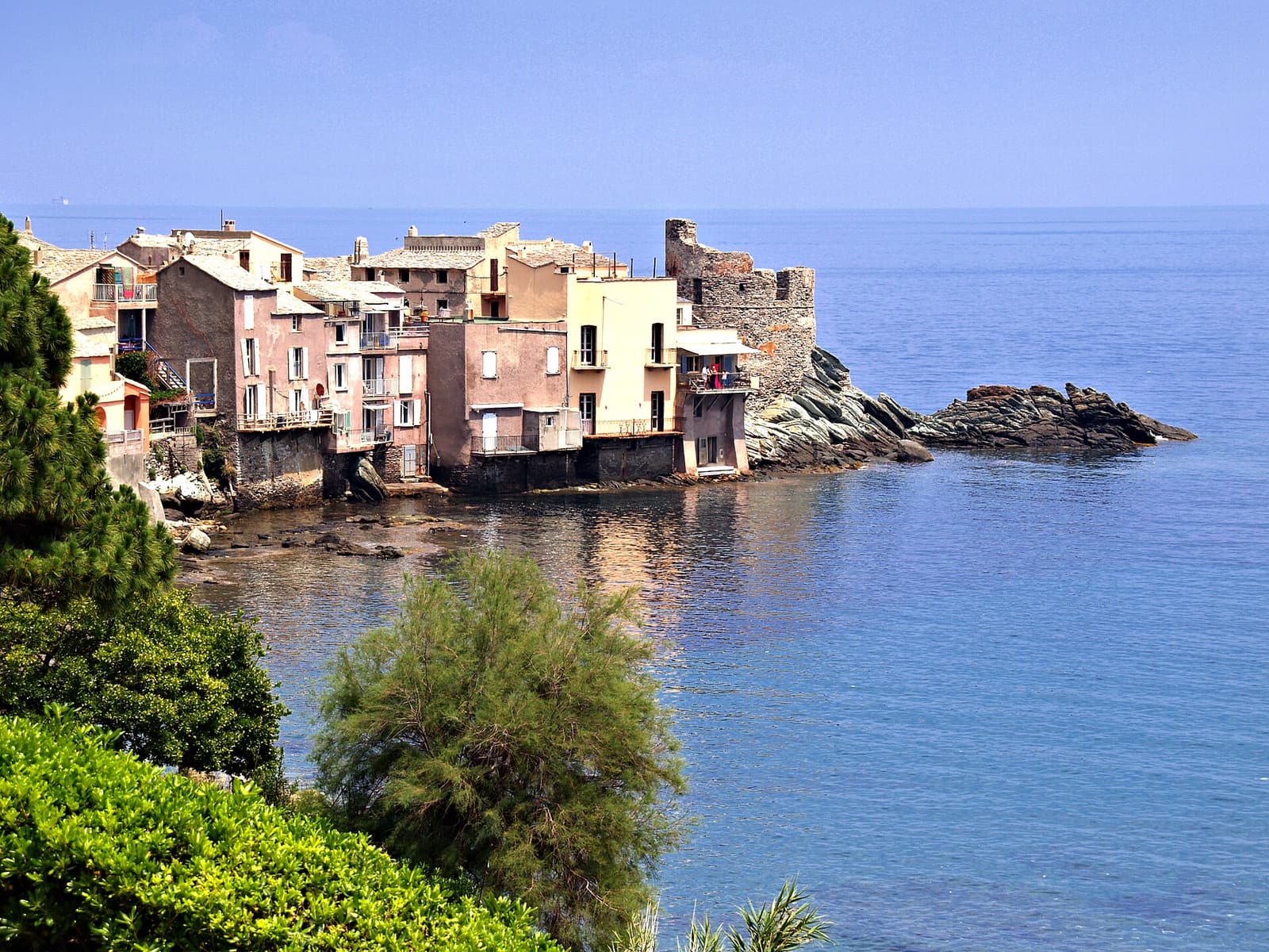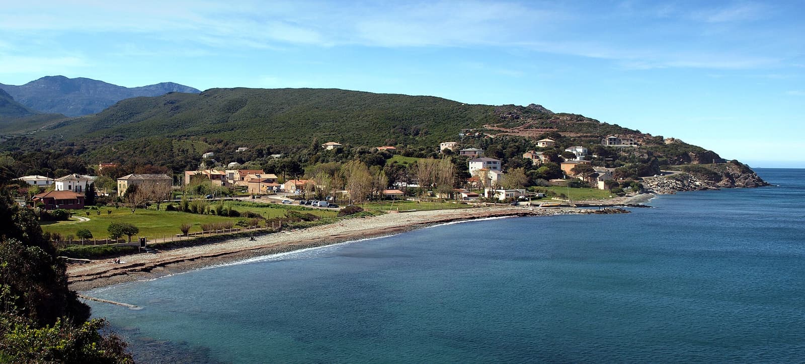
The Sentier des Douaniers — the customs officers’ path — follows the shoreline round the roadless northern tip of Cap Corse, from Macinaggio in the east to Centuri in the west. It was once patrolled by coastguards on the lookout for smugglers; today the whole coast it crosses is protected land, and it is the best walk in this part of Corsica.
The complete route is around 19 km and takes seven to eight hours, but it divides naturally at Barcaggio. The eastern section, Macinaggio to Barcaggio, is the classic: about three hours of easy walking past sandy coves, three Genoese towers and the Finocchiarola islets. The western section, Barcaggio to Centuri, is longer (four to five hours), rougher and higher, with cliffs and big views. The path is waymarked and never difficult, but there is almost no shade.
Top things to do: Sentier des Douaniers
Macinaggio to Tamarone and the Finocchiarola viewpoint
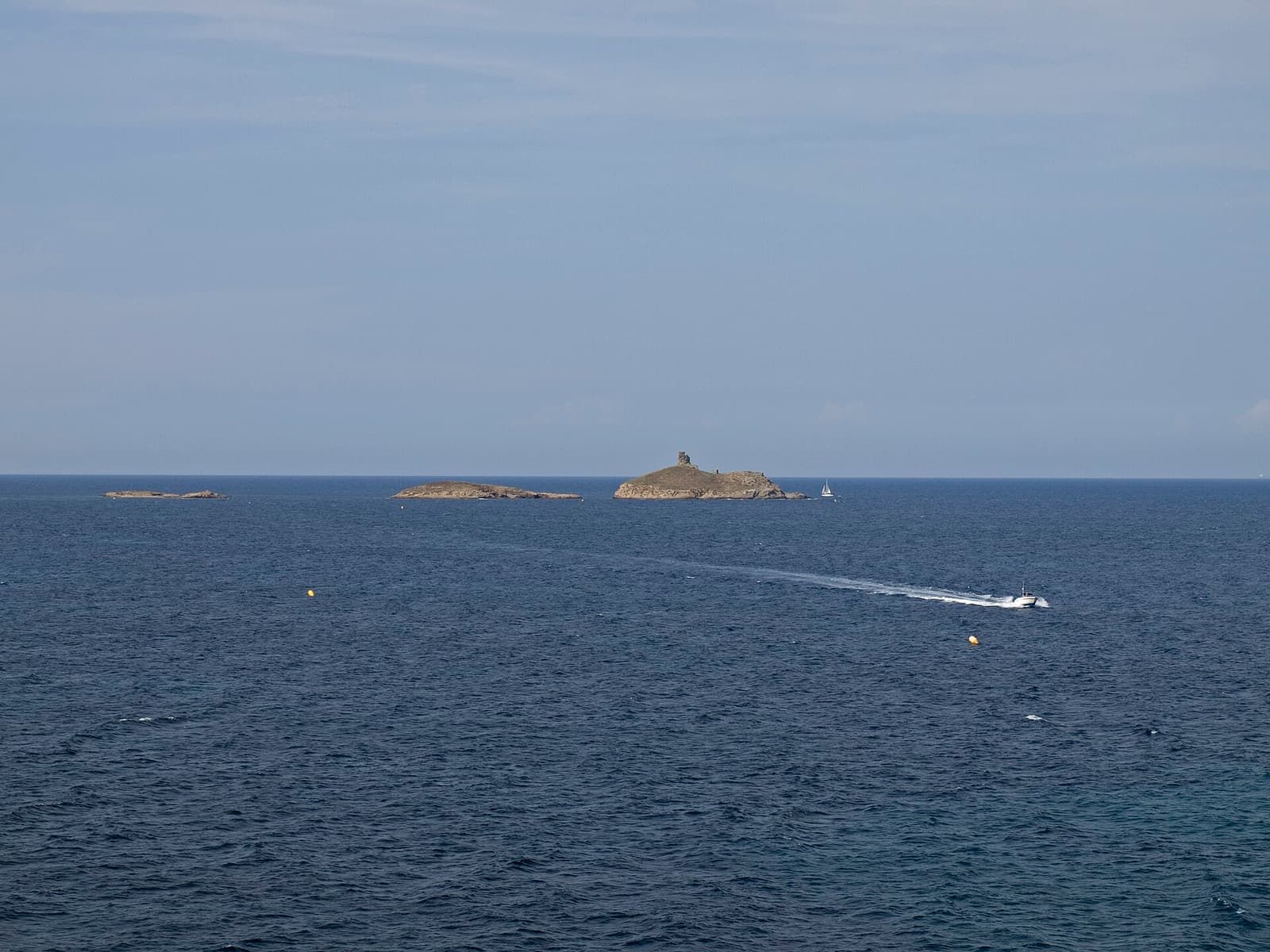
From the north end of Macinaggio beach the path crosses a headland to Tamarone beach (about 45 minutes), then continues to a point opposite the Îles Finocchiarola, three low islets that form a nature reserve for nesting seabirds. Landing on them is forbidden; the tower on the outermost island dates from the 16th century.
The chapel and tower of Santa Maria
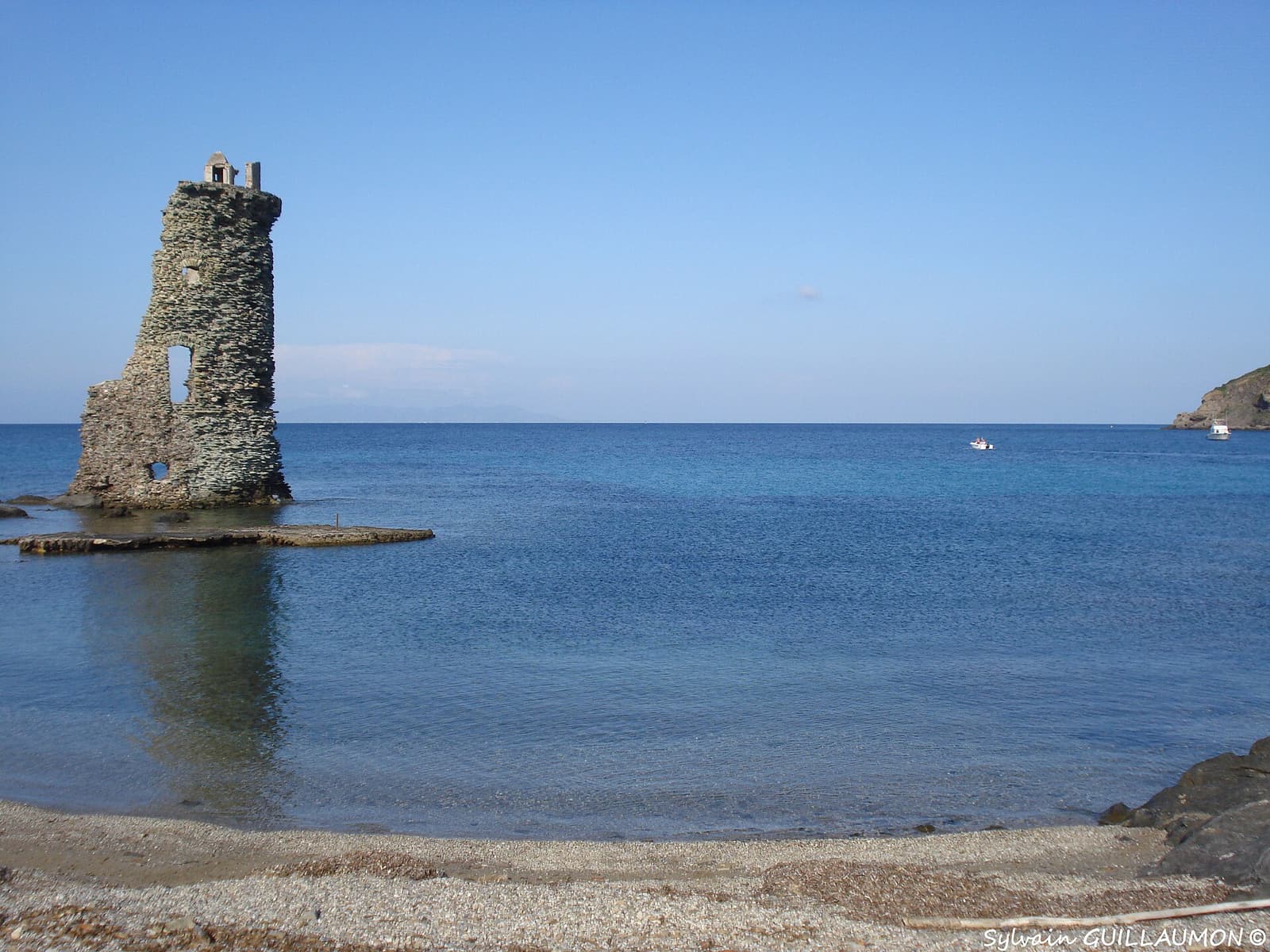
A little further on, set back from a small bay, stands the chapel of Santa Maria della Chiappella, an unusual double-apsed Romanesque building. On the shore just beyond, the Santa Maria tower rises straight out of the water, split open from top to bottom so that you can see its interior like a cutaway drawing — one of the emblematic sights of Cap Corse.
Cala Genovese, Cala Francese and the Agnello tower
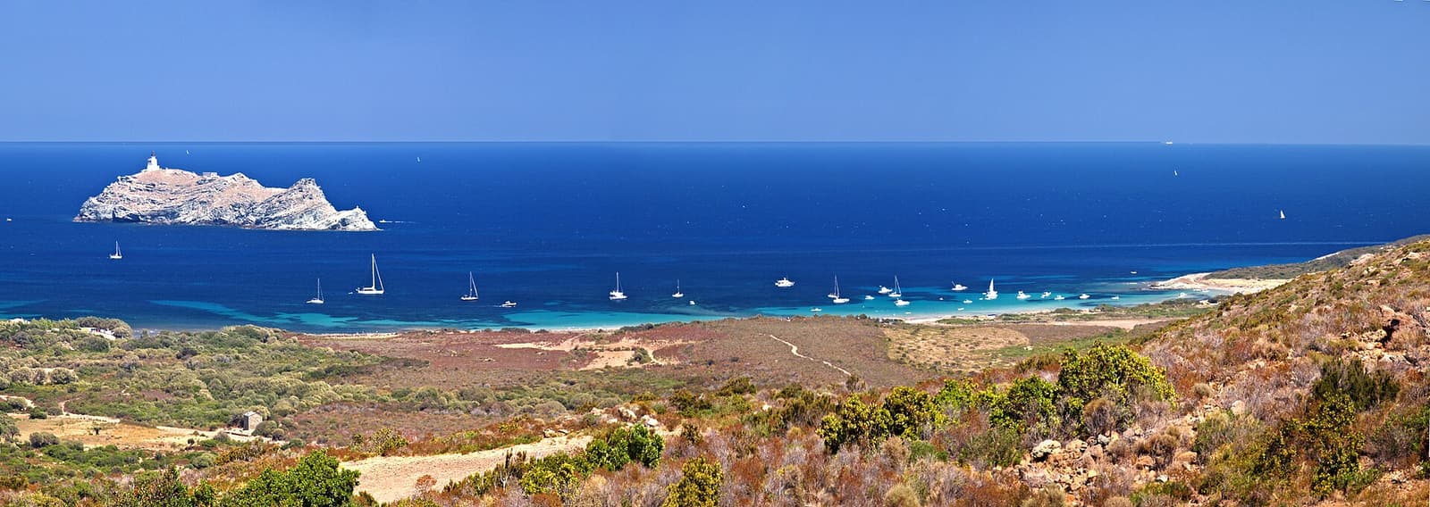
Two quiet sandy coves follow, good for a swim, before the path climbs to the Agnello tower on its headland. From here the island of Giraglia comes into view and the path drops to the dunes of Barcaggio beach.
Barcaggio to Centuri
Beyond Barcaggio the trail passes the hamlet of Tollare and its tower, then climbs over the cliffs of Capo Grosso below an old signal station before descending gradually to Centuri. This half is more exposed to wind and has more ascent; allow four to five hours and carry plenty of water.
How to get to Sentier des Douaniers
- Start: the north end of the beach at Macinaggio, or the car park at Tamarone (2 km up a dirt track), which shortens the walk by about 45 minutes.
- Getting back: the path is linear. Either walk back the same way (six hours return to Barcaggio), leave a second car, arrange a taxi, or use the seasonal boat between Macinaggio and Barcaggio if it is running — ask at the Macinaggio tourist office or port before you set out.
- Shorter option: walk as far as the Santa Maria tower and return — about three hours in all from Macinaggio, two from Tamarone.
Insider tips
- Carry at least 1.5–2 litres of water per person, a hat and sun cream. There is no drinking water between Macinaggio and Barcaggio and very little shade.
- In July and August start at dawn and be off the path by late morning, or walk in the early evening.
- On days of very high fire risk the authorities may close access to the maquis. Check the daily fire-risk map published by the prefecture, never light a fire and take every scrap of litter out.
- Good walking shoes or trail trainers are enough; the path is sandy and stony but not technical. Bring swimming things.
Best tours & boat trips for Sentier des Douaniers
These experiences pair well with a visit to Sentier des Douaniers:
 E-bike tour
 Macinaggio: Discover Cap Corse by Electric Mountain Bike
One of the very few bookable activities that actually begins on the cape: three hours on an electric mountain bike from Macinaggio with a qualified guide. A new listing without reviews yet; check the price for your group size and the minimum age on GetYourGuide.
- Starts on the cape itself
- Qualified guide
- Electric assistance makes the hills manageable
 4x4 & hike from €65
 Saint-Florent 4x4: Saleccia and Lotu Beaches with Sentier des Douaniers Hike
The rough track into the Agriates is closed to ordinary hire cars, which is why this package exists: a 4x4 takes you in and out, you walk the coastal customs path between the two beaches (roughly an hour and a quarter) and you have free time to swim at both. A full day; bring water, a hat and your own picnic unless the listing says otherwise.
- Return 4x4 transfer across the Agriates track
- About 1 hour 15 minutes on foot along the coast path
- Free time on both Saleccia and Lotu