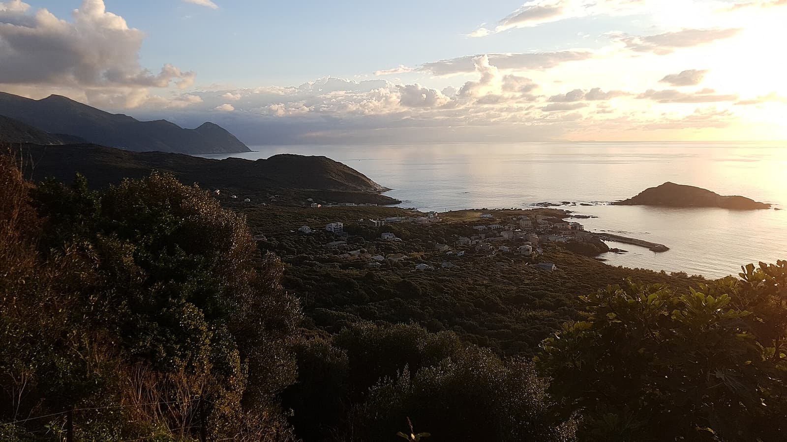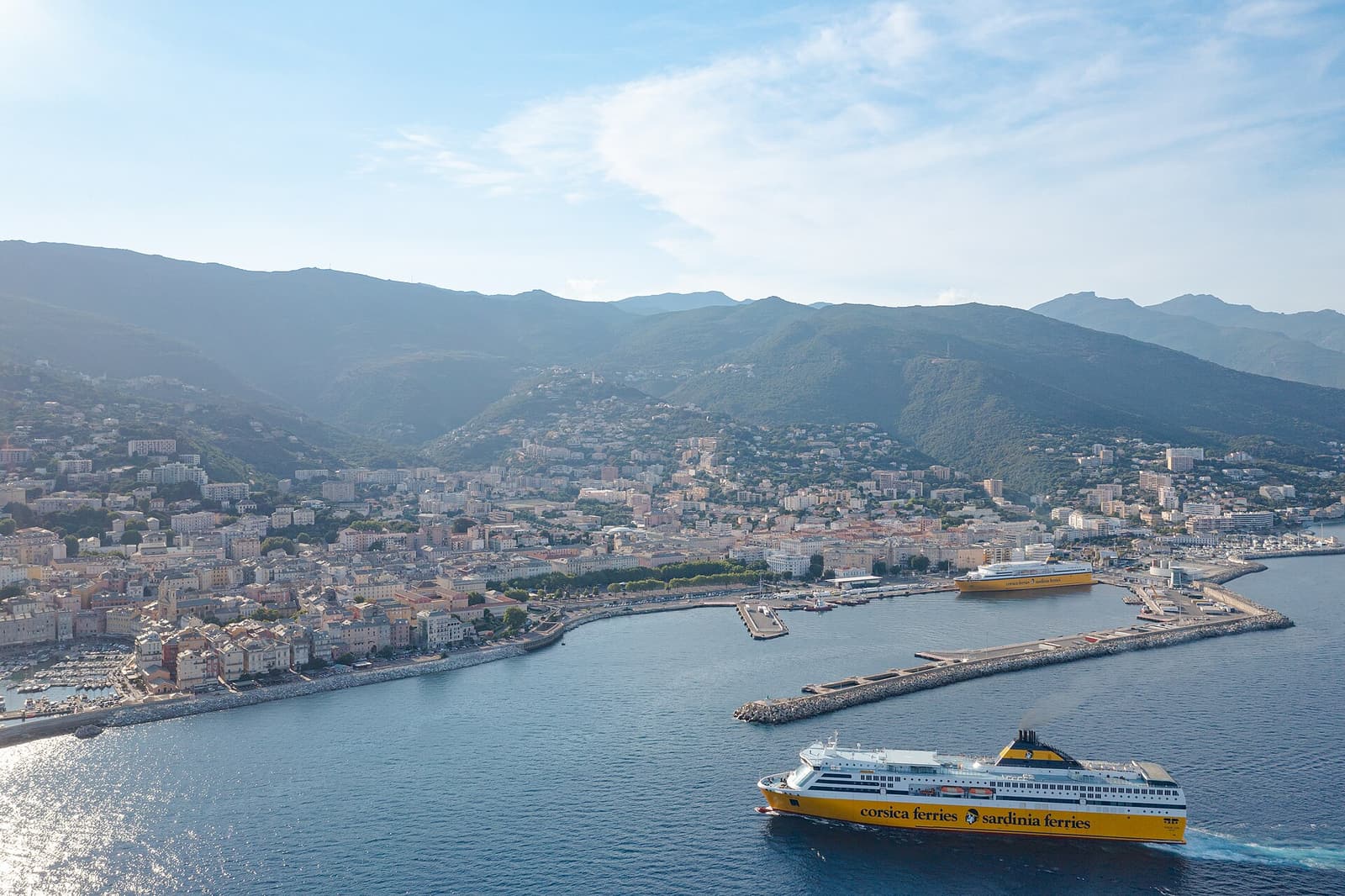
Getting to Cap Corse means getting to Bastia. The town sits at the base of the peninsula on the east side, the D80 coast road begins at its northern edge, and both Corsica’s busiest ferry port and the airport of the north-east are here. From the quay you can be in Erbalunga, the first village of the cape, in twenty minutes.
By ferry to Bastia
Bastia has more ferry connections than any other port in Corsica, with sailings from the French mainland and — closer and often cheaper — from Italy. The terminal is in the middle of town. Crossing times depend on the ship and on whether it is a day or night sailing; the figures below are typical, not guaranteed, and several routes are seasonal or less frequent in winter.
| From | Typical crossing | Operators in recent seasons | Good to know |
|---|---|---|---|
| Livorno (Italy) | About 4–4.5 hours | Corsica Ferries, Moby | The shortest crossing; several sailings a day in summer |
| Savona / Vado Ligure (Italy) | About 6–10 hours | Corsica Ferries | Handy from Turin, Milan, Switzerland and southern Germany |
| Genoa (Italy) | About 6.5–7.5 hours or overnight | Moby | Mainly spring to autumn |
| Nice (France) | About 5.5–7 hours | Corsica Ferries | Day crossings; the closest French port |
| Toulon (France) | About 9–11 hours, often overnight | Corsica Ferries | Year-round; cabins advisable |
| Marseille (France) | About 11–13 hours, overnight | Corsica Linea, La Méridionale | Year-round night ferry; arrive in Bastia early morning |
Booking tips. Prices rise steeply for cars in July and August and on school-holiday weekends; book the car deck early and compare day and night sailings. Operators and timetables change from year to year, so always check current schedules on the companies’ own sites. If Bastia is full, ferries also run to L’Île-Rousse (about an hour from Saint-Florent) and Ajaccio.
By air: Bastia-Poretta airport
Bastia-Poretta (BIA) is at Lucciana, about 20 km south of Bastia. There are year-round flights from Paris, Marseille and Nice, services from other French cities such as Lyon, and seasonal direct flights from a changing list of European cities — check what operates from your nearest airport in your month of travel.
- Car hire: all the main companies have desks at the airport. This is the easiest place to collect a car; reserve well ahead for June to September.
- Airport bus: a shuttle runs between the airport and Bastia railway station in about 35 minutes, several times a day, for roughly ten euros. Check current times.
- Taxi: 25–35 minutes to central Bastia; fares are fixed by tariff and higher at night and on Sundays.
Calvi airport, on the north-west coast, is an alternative for Saint-Florent (about an hour and a half’s drive).
Car hire is all but essential
There is no practical way to tour the cape by public transport. Hire the smallest car that fits your party — you will be grateful for it on the west coast and in village car parks. Check that your contract allows the car on ferries if you are island-hopping, and note that unsurfaced tracks (to Saleccia, for instance) are normally excluded from insurance.
Driving the D80 loop
The classic circuit is Bastia → Erbalunga → Macinaggio → Col de la Serra → Centuri → Pino → Nonza → Patrimonio → Col de Teghime → Bastia: about 110 km, or a little more with the detours to Centuri-Port, Barcaggio and Saint-Florent. Pure driving time is three to three and a half hours.
- East coast (Bastia–Macinaggio, about 37 km, 50–60 min): an ordinary two-lane road close to sea level. Easy.
- The tip (Macinaggio–Centuri, about 17 km, 30–40 min): the road turns inland and climbs over the Col de la Serra. Side roads drop to Barcaggio and to Centuri-Port.
- West coast (Centuri–Nonza, about 40 km, 60–75 min): the famous corniche. Narrow in places, endlessly winding, sometimes high above the sea with a low wall. Widened sections alternate with single-track pinches.
- Nonza–Patrimonio–Saint-Florent (about 20 km, 25–30 min): wider and faster.
- Back to Bastia over the Col de Teghime (D81, about 23 km from Saint-Florent, 35–40 min): a broad main road with big views.
Which direction?
Anticlockwise (east coast first) is the usual recommendation. You warm up on the easy side, you are on the seaward lane of the corniche — best views, lay-bys on your side — and you reach the west coast for the afternoon light and the sunset. The price is that you are on the outside edge on the cliff sections.
Clockwise (Saint-Florent and the west coast first) keeps you on the inside lane, against the mountain, for the whole of the corniche. If the driver or the passengers dislike heights, choose this — and do the west coast in the morning, when there is less traffic coming the other way.
Practical driving notes
- Fuel: fill up in Bastia or Saint-Florent. There are only a few pumps on the cape (Macinaggio is the most reliable) and they may be closed at lunchtime or on Sundays.
- Speed: expect to average 30–40 km/h on the west coast. Use the horn on blind bends and let faster local drivers pass at the lay-bys.
- Large vehicles: camper vans and motorhomes do drive the loop, but the west coast is tight and some village centres are closed to them. Go anticlockwise early in the day, or clockwise to stay on the inside. Wild camping is not allowed.
- Animals: cows, goats and pigs wander onto the road, especially at the tip and at dusk.
- After dark: avoid the west coast at night; there is no lighting and few barriers.
- Shortcut: the D180 crosses the cape from Santa Severa to Pino in about half an hour if you need to cut the loop.
Without a car
Bastia’s local buses reach Erbalunga, and a few buses a day continue up the east coast to Macinaggio; a few more link Bastia and Saint-Florent. There is next to nothing on the west coast. The realistic car-free options are boat trips from Bastia or Saint-Florent, a private driver, taxis for short hops, or — for the fit — a bicycle.
From elsewhere in Corsica
Bastia is about 1 hour 15 minutes from Corte, 2 hours from Calvi, 2 hours 30 minutes from Porto-Vecchio and 3 hours from Ajaccio by road. The island’s narrow-gauge railway links Bastia with Corte, Ajaccio and Calvi — scenic and useful for reaching Bastia, though it does not serve the cape.