Skip to content
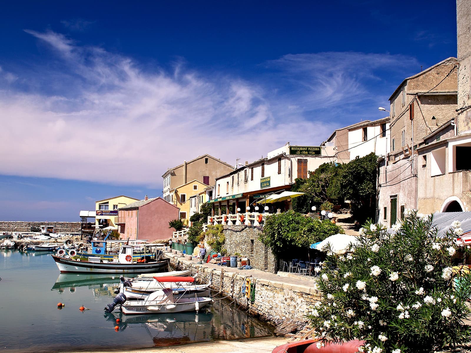
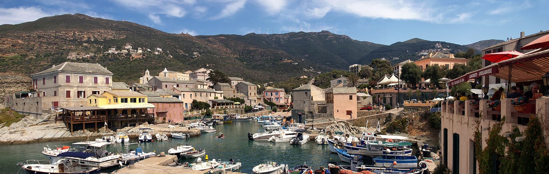
The fishing harbour of Centuri with its boats, restaurants and hillside houses

Places to see on Cap Corse

Twelve stops in the order you meet them on the D80, from the Vieux Port of Bastia to the white sand of the Agriates.

Cap Corse is not a place of big-ticket sights. Its pleasure is in the sequence: a harbour, a tower, a bend with a view, a village on a ledge, a beach at the end of a lane. The guides below follow the loop anticlockwise from Bastia — up the sheltered east coast, round the wild northern tip, down the cliffs of the west and out to Saint-Florent.

Each page covers what to see, how to get there and park, practical tips and the tours or boat trips that fit. If you are short of time, the stops most people remember are Erbalunga, Centuri with the Moulin Mattei, and Nonza.
Bastia & the east coast

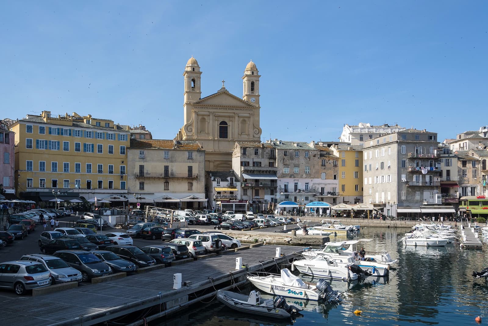
The twin-towered church of Saint-Jean-Baptiste above the boats and quays of Bastia’s Vieux Port Bastia & the east coast

Bastia

The Genoese port where every Cap Corse trip begins

Corsica’s second city and its busiest ferry port sits at the foot of the cape. Tall, weathered houses ring the Vieux Port beneath the twin towers of Saint-Jean-Baptiste, the Genoese citadel of Terra Nova looks down from its rock, and Place Saint-Nicolas spreads its cafés along the seafront. Give it at least half a day before you turn north.

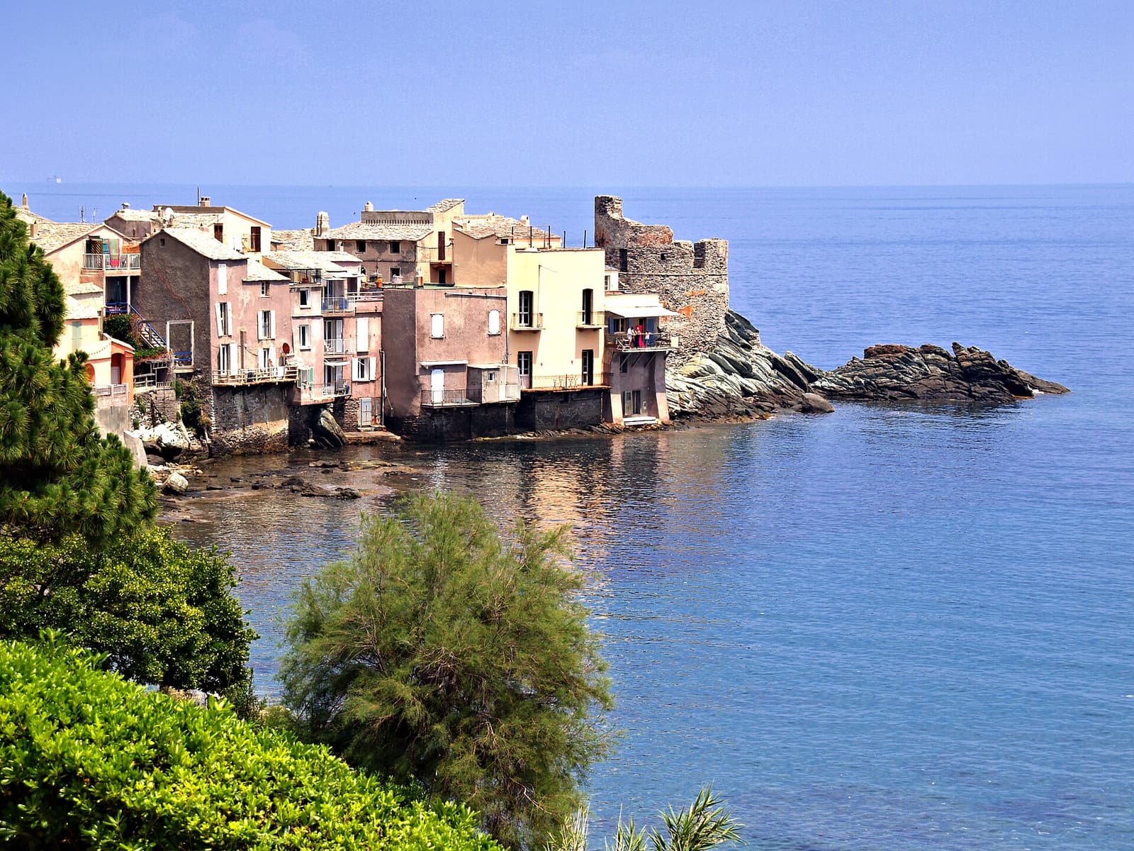
The houses of Erbalunga on their rocky point, with the ruined Genoese tower at the end and calm blue sea all round Bastia & the east coast

Erbalunga

The painters’ harbour, ten kilometres from Bastia

A handful of pastel houses crowded onto a rocky point, with a ruined Genoese tower at the tip and fishing boats pulled up below the plane trees: Erbalunga is the prettiest marina on the east coast and the first real stop on the D80. Come for a swim off the rocks and lunch by the water.

The curving beach and green hills of the marine of Sisco on the east coast of Cap Corse Bastia & the east coast

Sisco & Pietracorbara

Quiet valleys and the best sand on the east coast

North of Erbalunga the D80 runs past a string of small marinas, each the seaside end of a green valley dotted with hamlets. Sisco has its beach and its hillside chapels; Pietracorbara has the widest sweep of sand on this coast; and just beyond, the Tour de l’Osse is one of the best-preserved Genoese towers on the cape.

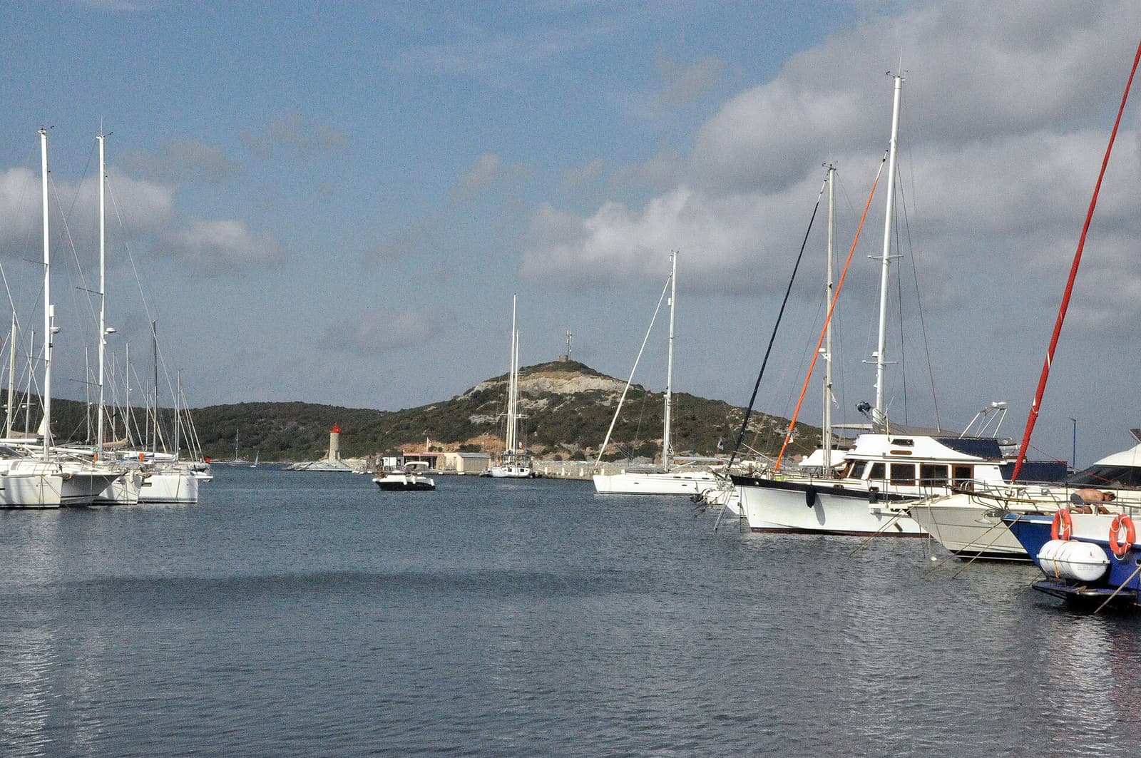
Yachts moored in the marina of Macinaggio, with a low headland behind Bastia & the east coast

Macinaggio & Rogliano

The cape’s main marina, and the hill villages above it

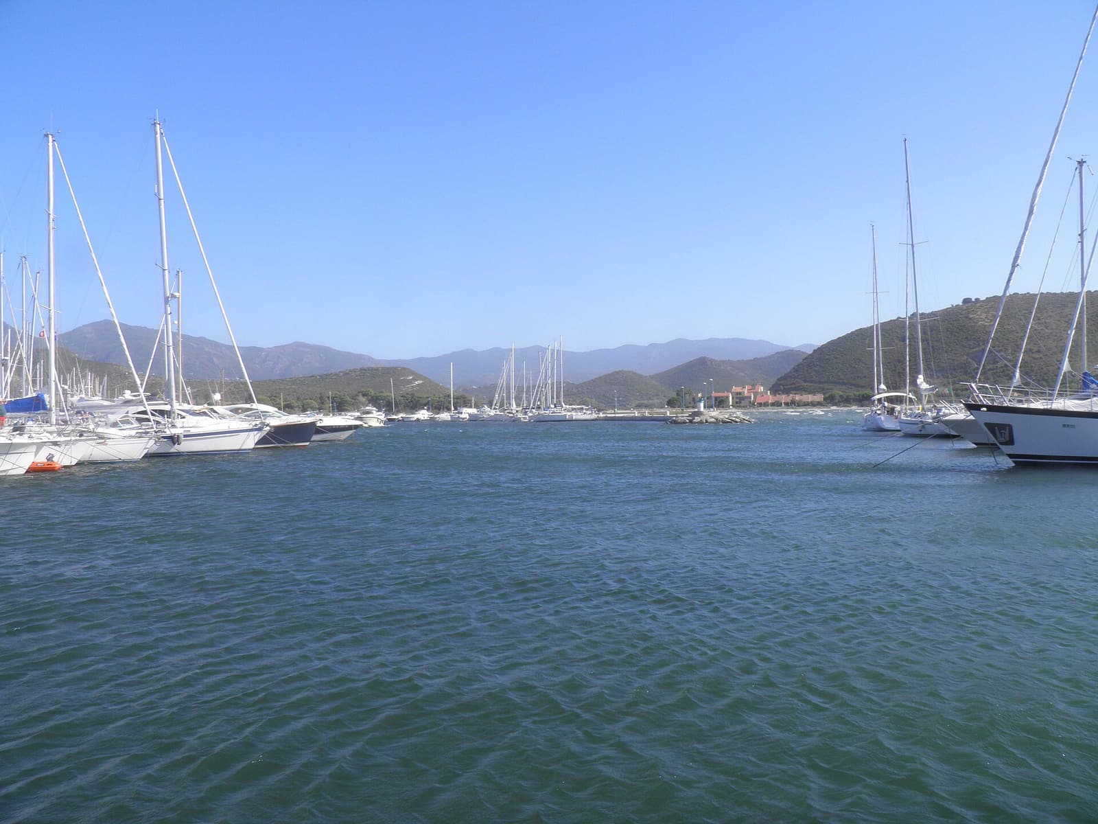
Macinaggio is where the east-coast road ends and the wild tip begins: a lively yacht harbour with shops, restaurants and fuel, and the starting point of the Sentier des Douaniers. Above it, the hamlets of Rogliano climb the hillside among towers, a ruined castle and a large baroque church.

The northern tip

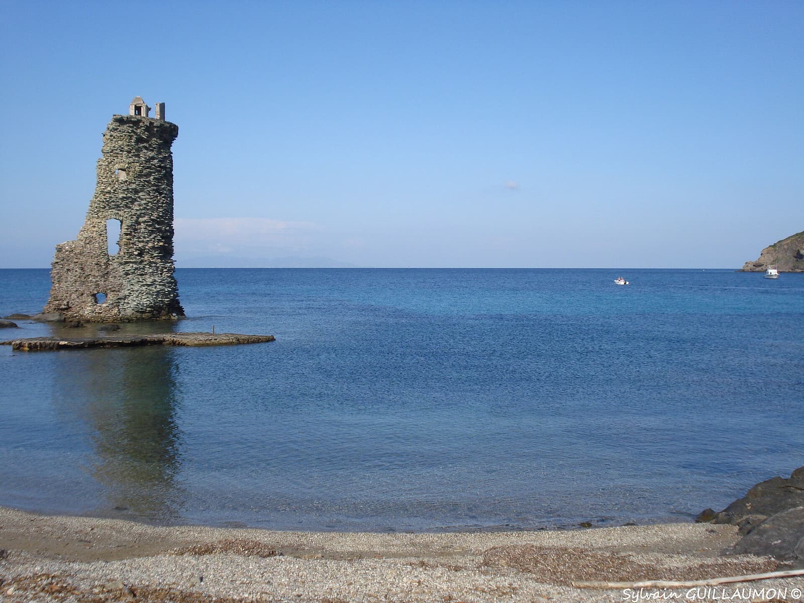
The ruined Genoese tower of Santa Maria standing in shallow water beside a pebble cove on the coast path The northern tip

Sentier des Douaniers

The customs officers’ path round the tip of Corsica

The finest walk on the cape follows the old coastguard path from Macinaggio to Barcaggio and on to Centuri: about 19 kilometres of empty beaches, low maquis, Genoese towers and island views, with no road in sight. Most people walk the first section, around three hours to Barcaggio, past the half-ruined Santa Maria tower standing in the sea.

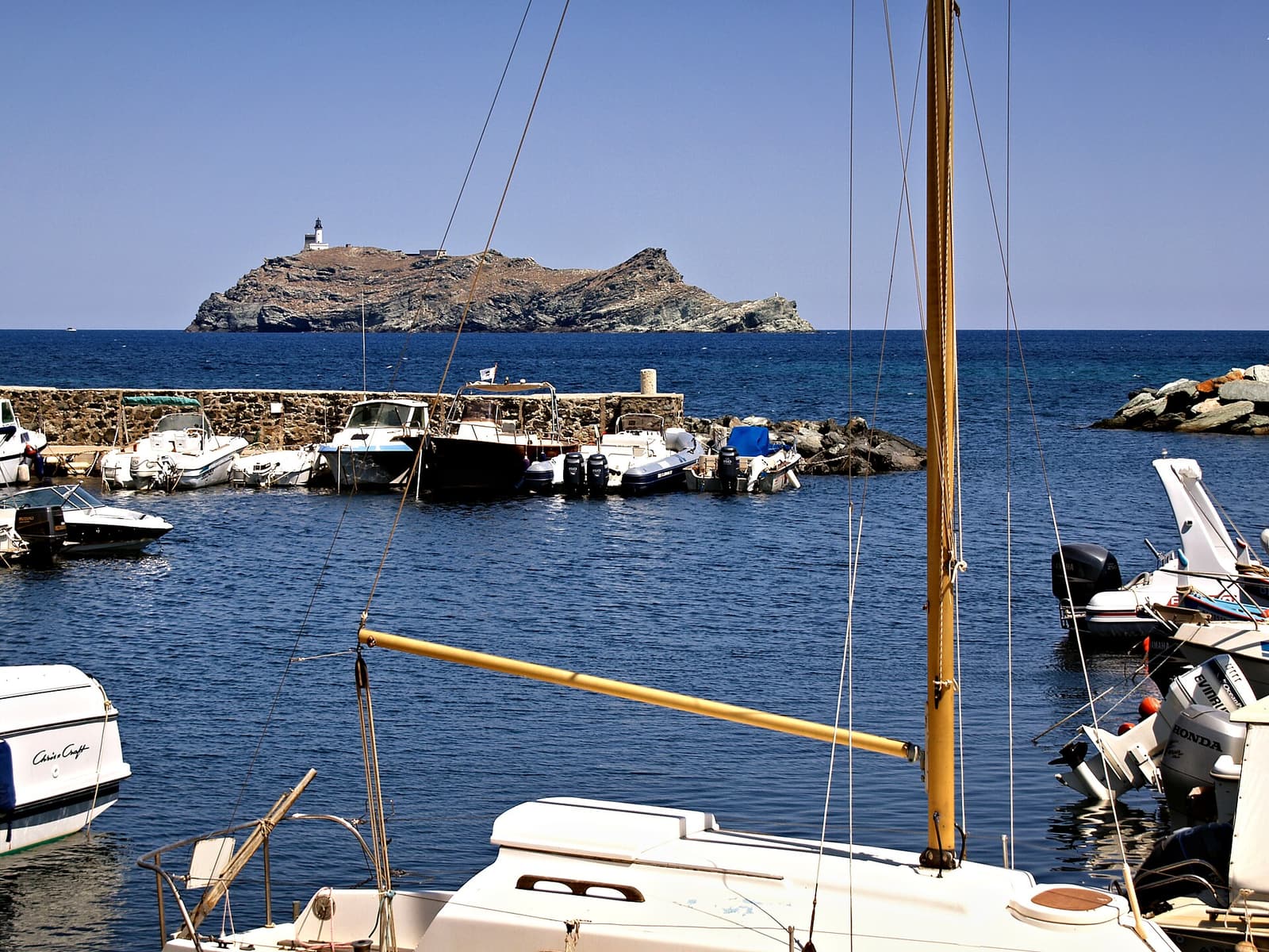
The small harbour of Barcaggio with the island of Giraglia and its lighthouse just offshore The northern tip

Barcaggio & Giraglia

The last village in Corsica, facing the lighthouse island

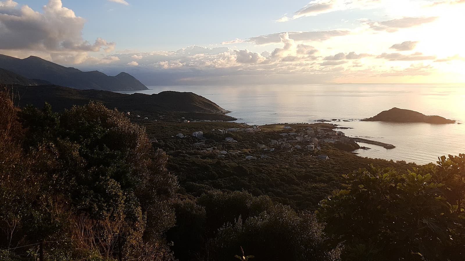
At the very top of the island, at the end of a long winding lane, Barcaggio is a tiny fishing hamlet with a dune-backed sandy beach where cows sometimes wander onto the sand. Straight ahead lies the islet of Giraglia with its lighthouse and Genoese tower — the northernmost point of Corsica.

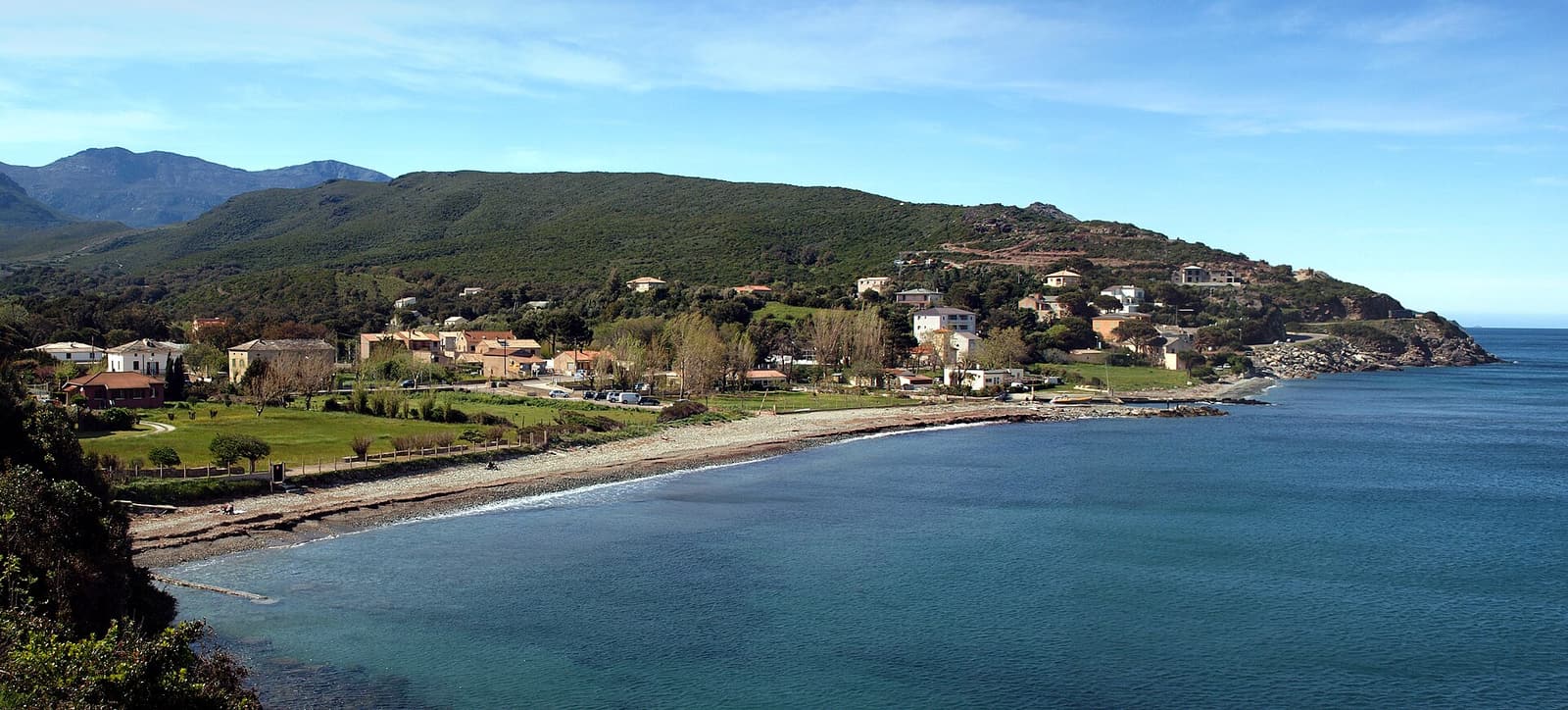
Fishing boats in the small harbour of Centuri, lined with restaurants and old stone houses The northern tip

Centuri

France’s lobster port, and the windmill above it

A horseshoe of grey-green stone houses round a miniature harbour full of fishing boats: Centuri is known as France’s leading port for spiny lobster, and its quayside restaurants serve the catch a few metres from where it is landed. On the pass above, the Moulin Mattei gives the widest view on the cape.

The west coast

The village of Pino among trees on a steep green slope, with its church tower and the west coast of Cap Corse beyond The west coast

Pino & Canari

Balcony villages of the wild west coast

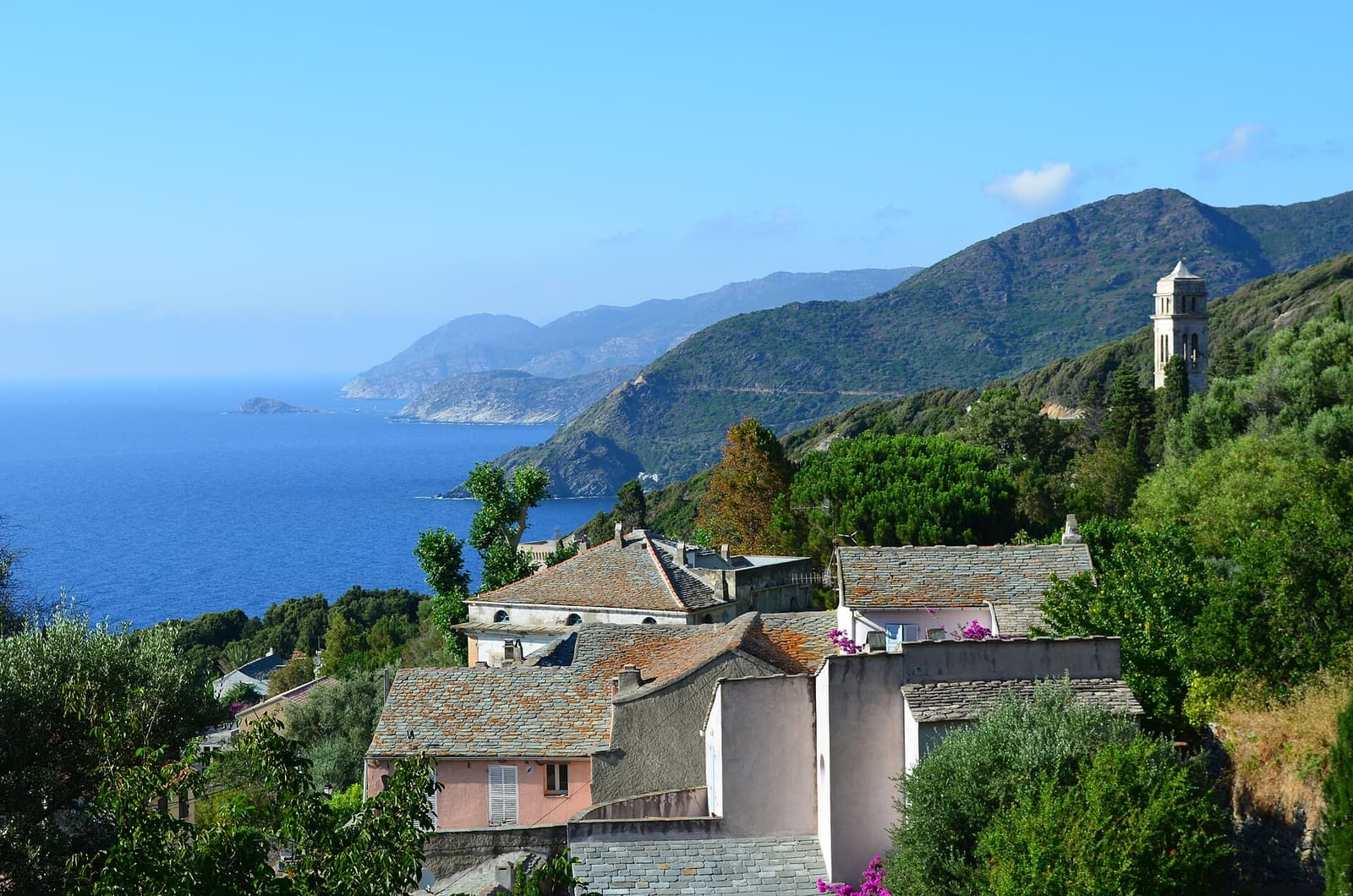
South of Centuri the road turns into a true corniche, cut into cliffs high above the sea. Pino tumbles through gardens and palm trees past the grand houses of emigrants who made their fortunes in the Americas; Canari spreads along a ledge with a white bell tower, a Pisan Romanesque church and some of the best sunsets in Corsica.

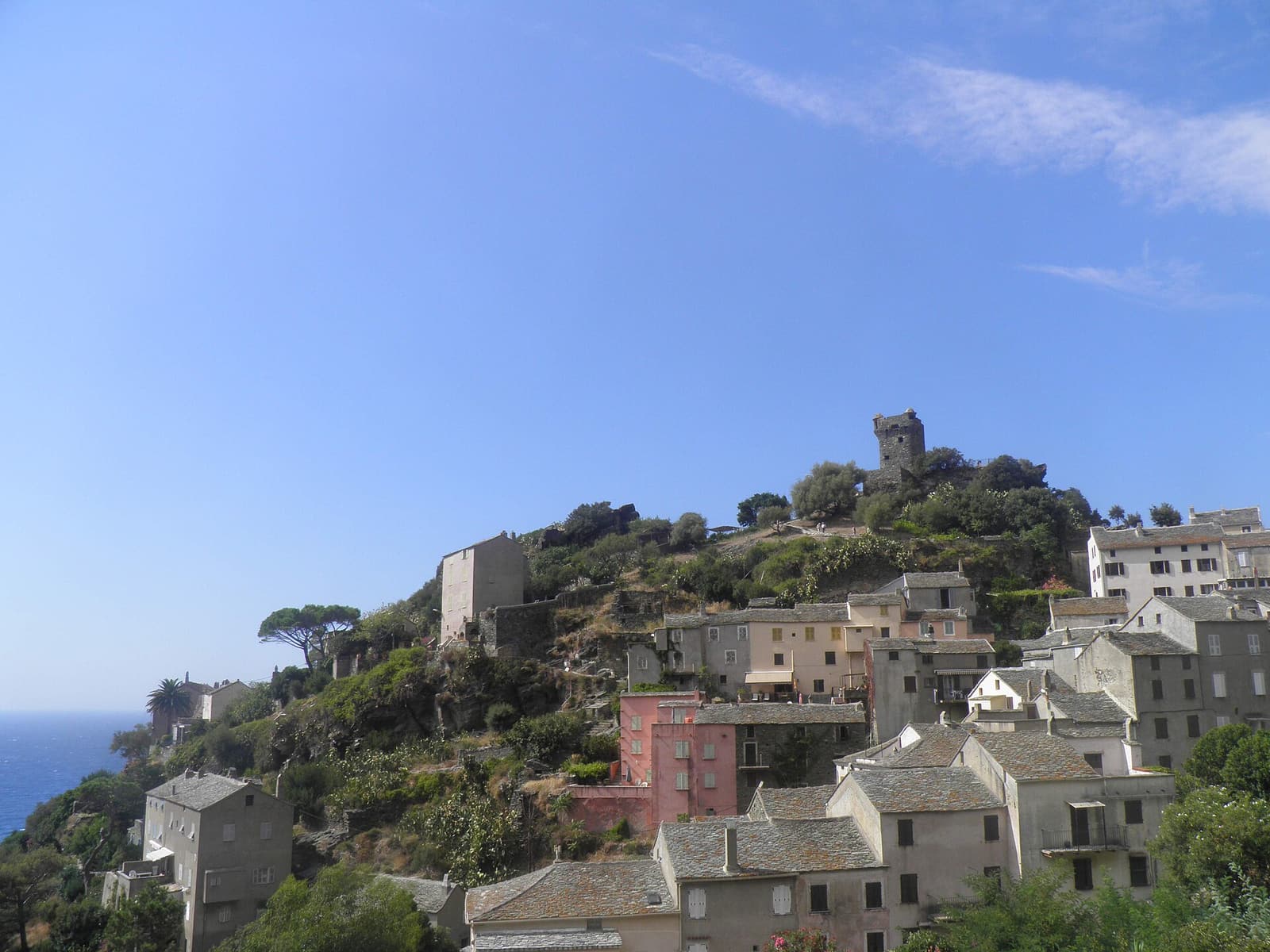
The old houses of Nonza climbing a rocky spur topped by the square Paoline tower The west coast

Nonza

A tower on a black cliff above a black beach

The most photographed village on the cape clings to a rock more than a hundred metres above the sea. Climb to the Paoline tower for the view, visit the church of Santa Giulia, patron saint of Corsica, and look down on the long dark-grey beach where visitors spell out messages in white pebbles.

Patrimonio, Saint-Florent & the Agriates

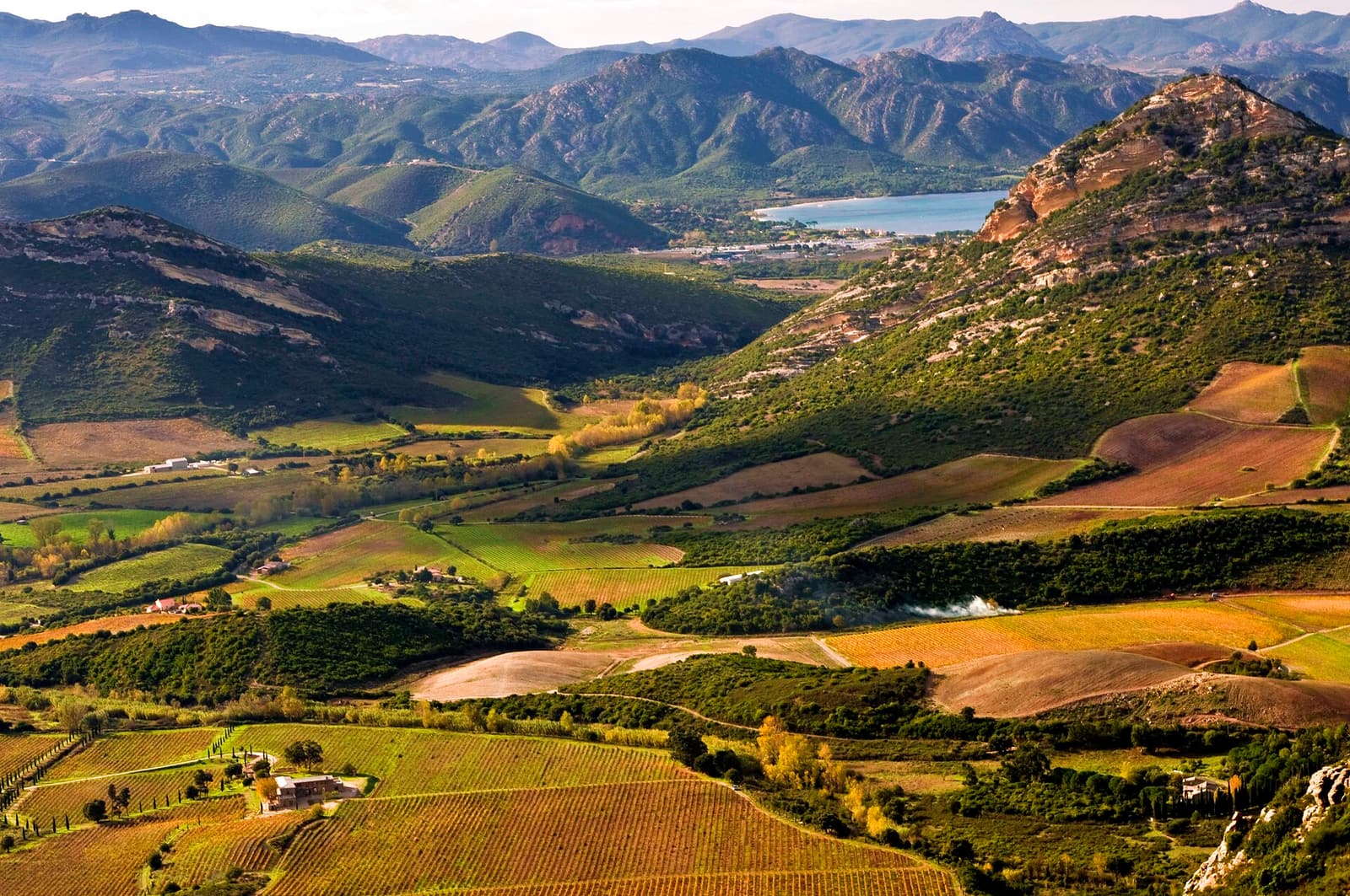
Vineyards and golden fields of the Patrimonio wine area, with hills and the Gulf of Saint-Florent in the distance Patrimonio, Saint-Florent & the Agriates

Patrimonio

Corsica’s first wine appellation

Where the cape joins the rest of the island, the limestone hills above the Gulf of Saint-Florent are covered in vines. Patrimonio became Corsica’s first AOC in 1968; today some thirty-odd estates make Niellucciu reds, Vermentinu whites and the sweet Muscat du Cap Corse, and most welcome visitors for tastings.

Sailing boats moored in the harbour of Saint-Florent with hills on the far side of the gulf Patrimonio, Saint-Florent & the Agriates

Saint-Florent

The chic little port at the foot of the cape

A Genoese foundation of the 15th century, Saint-Florent wraps a busy marina, a round citadel and a tangle of old lanes around the head of its gulf. It is the natural end of the Cap Corse loop, the departure point for boats to the Agriates beaches, and the most popular place to stay on the west side.

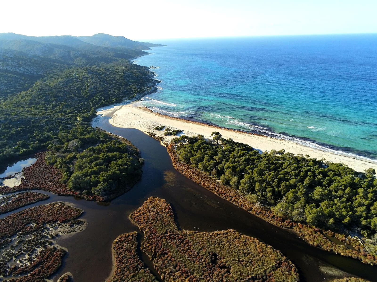
Aerial view of Saleccia beach: a long strip of white sand between a lagoon, pine woods and bright turquoise sea Patrimonio, Saint-Florent & the Agriates

Saleccia & Lotu

White-sand beaches of the Agriates desert

Across the gulf from Cap Corse, the empty maquis of the Agriates hides two of the most beautiful beaches in the Mediterranean: Lotu, a crescent of pale sand, and Saleccia, a kilometre of white sand and turquoise water backed by pines. No ordinary road reaches them — you arrive by boat, by 4x4 or on foot.

Putting the stops together

In a single day you can see Erbalunga, the Moulin Mattei, Centuri and Nonza, with a swim somewhere on the way. Two days add Macinaggio, a stretch of the coast path and either Barcaggio or the west-coast villages. Three or four days make room for the whole Sentier des Douaniers, a boat to Saleccia and an afternoon among the vines. Day-by-day plans are in the Cap Corse travel guide; driving times and directions are in getting here.

Plan your days on the cape

Drive the corniche, then leave the car behind

The D80 shows you the cape from above; a boat shows you the coves, towers and white-sand beaches no road reaches. Compare boat trips, 4x4 days in the Agriates, wine tastings and Bastia walks — and book in a couple of taps.